
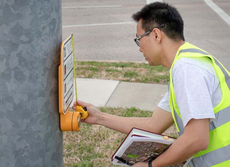
You experience Geographic Information Systems (GIS) daily in one way or another. If you’ve ever used a mapping app, you’ve used GIS. Our certified professionals are knowledgeable in spatial analysis, asset management and mapping, and skilled using GIS software. From data collection to hosted solutions, we provide a full range of GIS services. We are experienced in Esri’s suite of GIS mapping software, and we are a member of the Esri Partner Network.
Texas DIR: GIS and Geospatial

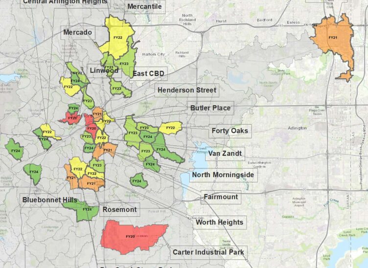
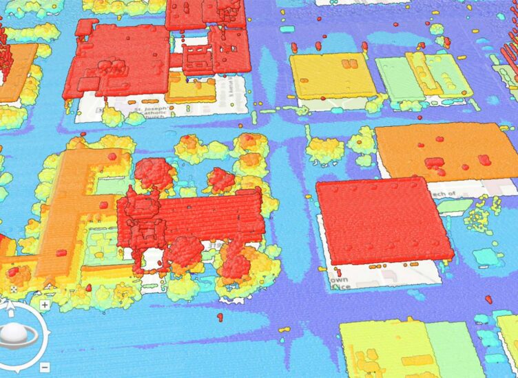
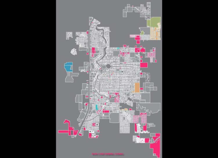
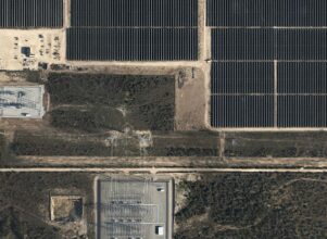
Geographic Information Systems Projects
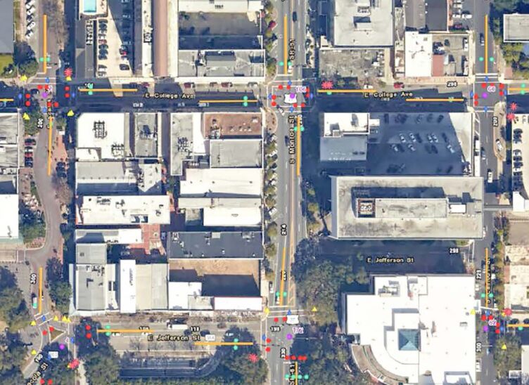
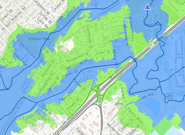
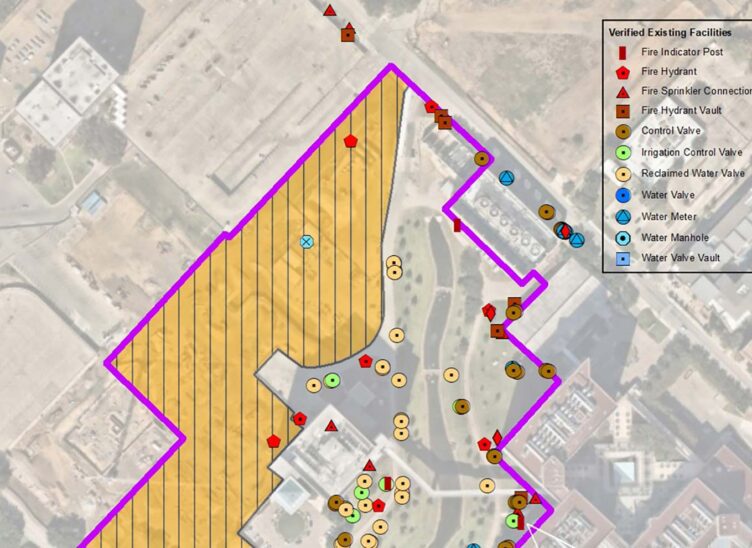
Geographic Information Systems Services
- Asset Inventory and Condition Assessment
- Geodatabase Design and Planning
- Surface Modeling and Terrain Analysis
- Imagery Classification and Feature Extraction
- Mobile Deployments and Integrations
- Geospatial Artificial Intelligence
- Web and Geodatabase Hosting
- Geospatial Analysis for all Industries
- GIS Strategic Planning
- Staff Augmentation
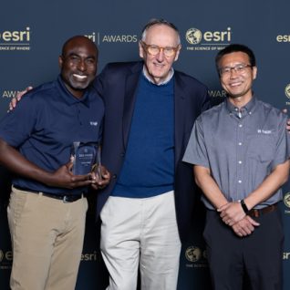
Halff Honored With Esri Special Achievement in GIS Award
RICHARDSON, Texas — Halff, an award-winning, employee-owned, diverse and full-service infrastructure consulting firm, received a Special Achievement in GIS (SAG)…
Meet the Team


Related Services

Let’s Connect
Ready to work with Halff? Simply fill out the form to be directed to the best person at Halff to discuss your interests.