SIZE:
680 square miles
Client:
Hays County
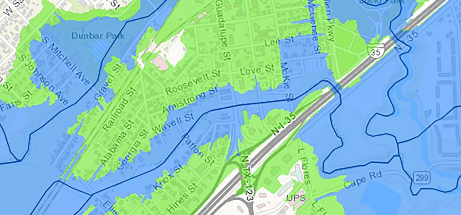
Halff designed an enterprise geodatabase to host the inundation mapping layers for Hays County. These inundation mapping layers were developed across 680 square miles for streams studied with detailed hydrology and hydraulics modeling.
These inundation layers were then delivered to the County through custom web map applications. This feature allowed the County to seamlessly provide the best available flood risk information to the public.
Halff Services
Involved
- Geographic Information Systems
- Surveying
- Watershed Plans & Studies


Let’s Connect
Ready to work with Halff? Simply fill out the form to be directed to the best person at Halff to discuss your interests.