SIZE:
9.5 mile corridor
Client:
ODOT
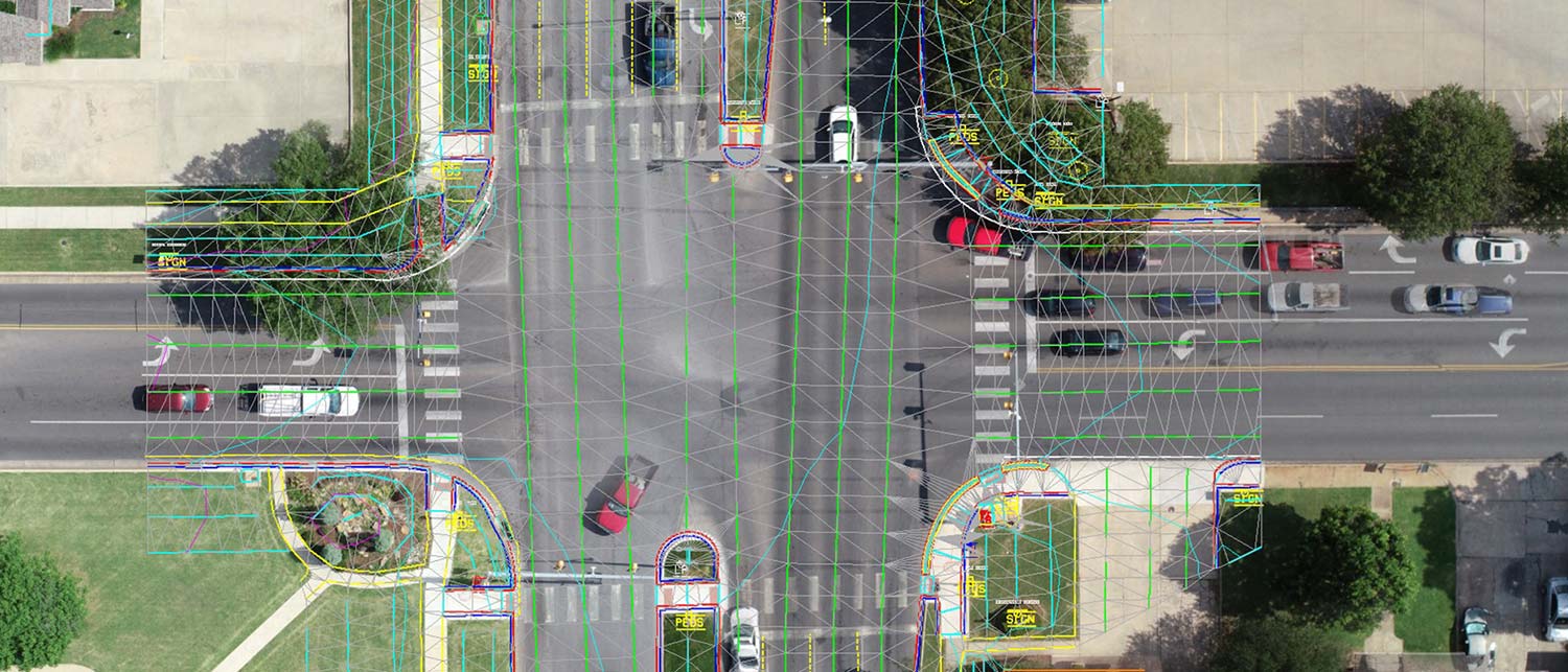
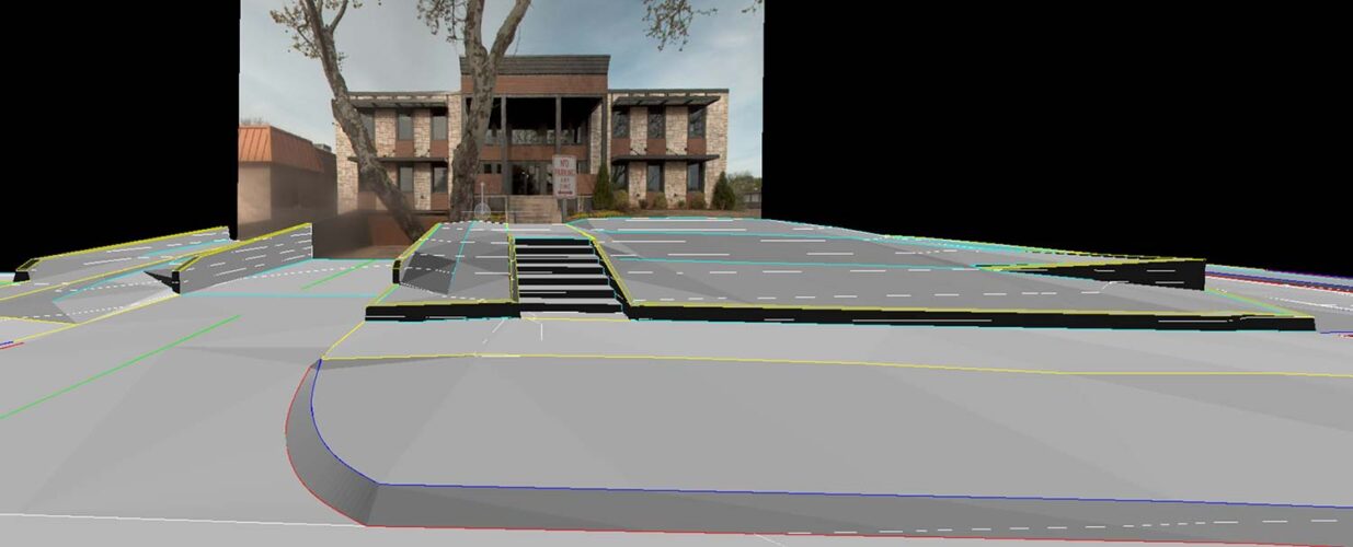
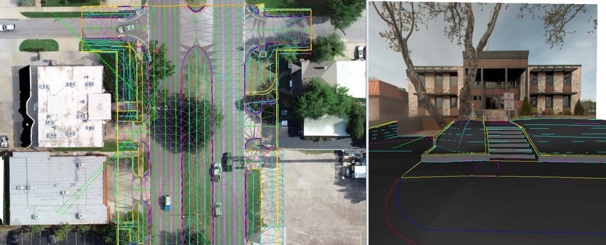
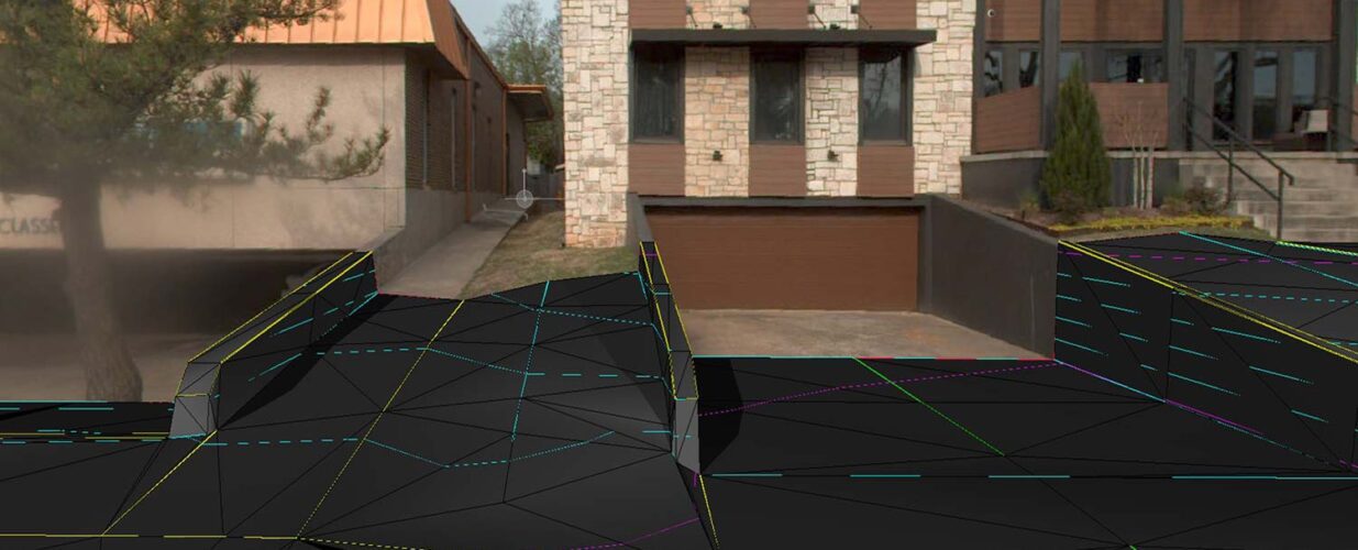
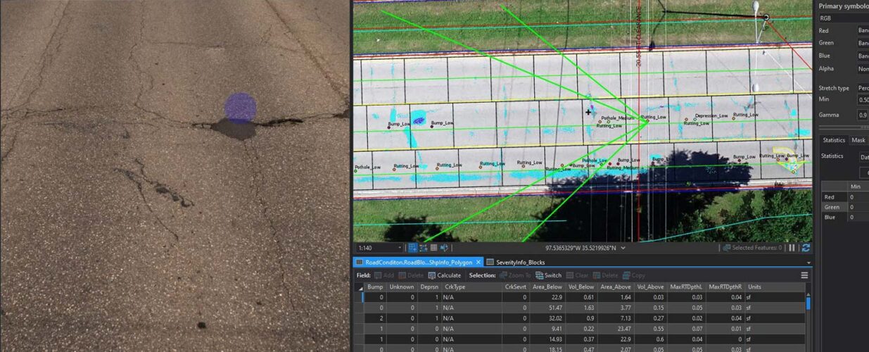
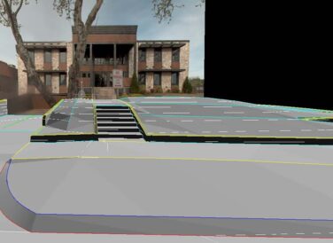
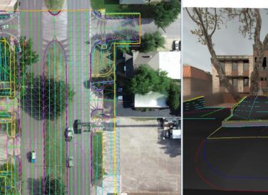
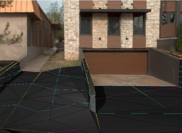
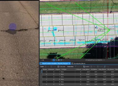
Halff provided several key services for this nine-and-a-half mile Rapid Transit Bus route corridor including the topographic mapping, data for the ADA compliance verificatio and mobile lidar data along the roadway and bus corridor. All surface features were collected, such as curb and gutters, top and toes. Additionally, sidewalks, ramps and retaining walls were digitized to create 3D models. All at-grade drainage and above-ground utilities were extracted and merged with conventional underground utilities. Orthophotography was collected via UAS.
Halff Services
Involved
- Geospatial
- Surveying

Let’s Connect
Ready to work with Halff? Simply fill out the form to be directed to the best person at Halff to discuss your interests.