How Visualization Helps Us ‘See’ the Road
Imagine being dropped right into the middle of traffic on Interstate 635E, which loops around Dallas. It’s a version of the highway you have never seen before.
Look around.
You experience wide-open expanses, elevation changes and new traffic patterns. Not only are you seeing what this new interstate looks like, but you are understanding how traffic operates on the redesigned layout.
Source: TxDOT/keepitmovingdallas.com
The world of visualization has had a huge impact on developing and rehabilitating transportation corridors over the last several years. It has also been used to envision new park and recreation area designs, buildings and facilities, and even interior design. Visualization has been an effective tool for training Insights and presenting demonstrative evidence by an expert witness in court proceedings.
Projects Brought to Life
Skilled animators transform a complex, new highway design into a 3D simulation that brings the project to life before it is ever built, offering a full-motion, tangible representation of the design—complete with traffic flow.
It’s a great benefit and communication tool for area business owners and other stakeholders at public involvement meetings, and the video usually answers questions and alleviates their concerns. They want to know, for example, whether their business will be seen after a new overpass is constructed. Will their billboards and other signage remain viewable? A visualization shows how a highway will interact and function with those adjacent properties.
Three-dimensional animations can even let stakeholders “get behind the wheel,” so to speak and interact with their environment. They can visit the ground level of their property, for instance, look across the highway and see exactly how high it is.
They can see the aesthetics of the corridor, view guide sign placement and better understand right of way impacts—just how close the project will come to their property boundary.
Increased Communication and Understanding
The Texas Department of Transportation (TxDOT) now lists 3D visualization as a task in its standard contract because TxDOT realizes the benefit of being able to show stakeholders a video when gathering feedback and fielding questions about a new project.
Trying to explain aspects of a highway design through a complicated schematic isn’t as effective as a video because the information within a schematic is only as good as a person’s interpretation of it.
When a 3D animation is placed in front of a stakeholder, he or she can see it. It becomes more real.
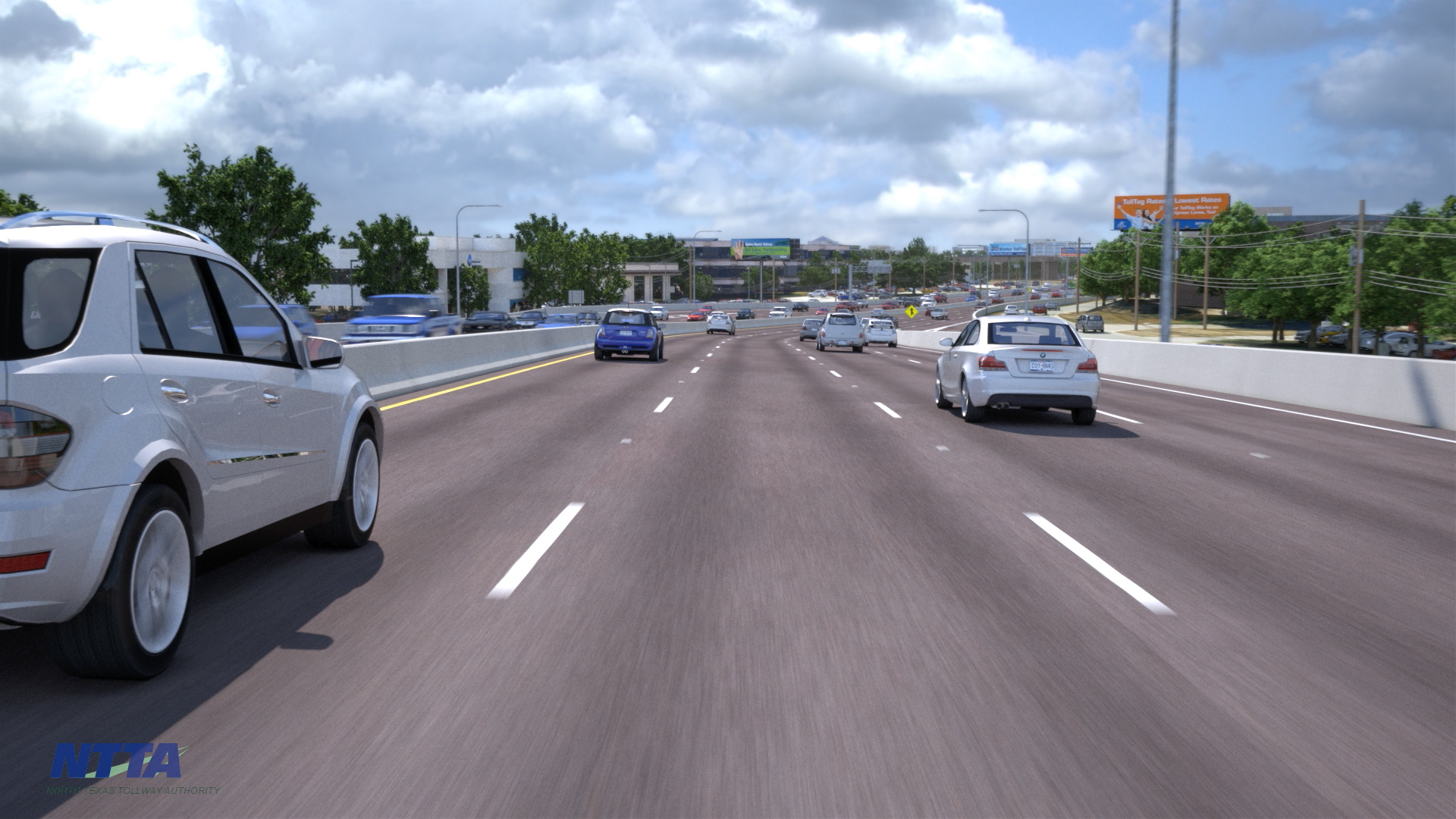
An animation from a driver’s perspective shows the Dallas North Tollway lane expansion.
Traffic simulation models also allow engineers to show how roads will operate during peak-hour events. Animators combine projected traffic flow with a converted 2D schematic plan view to create an animation that shows the public anticipated traffic flow as the result of a highway build. It will also demonstrate bottleneck removals.
Models are based on an intensive traffic study, and all movement is based on that gathered data. The true benefit is integrating the geometry of a model with an animation to help the public understand not only what the road looks like and what its footprint will be, but how it’s going to operate during different parts of the day.
Pedestrian and Bicycle Movements
Visualization can show activity beyond the roadway as well.
One aspect of sustainable design in transportation is how projects integrate the “complete streets” initiative. Is mobility enhanced and safe for everyone, including walking pedestrians and bicyclists?
A design may incorporate more shared-use paths, dedicated bus lanes, accessible transit stops and crossing opportunities. An animation of that design would show pedestrian and bicycle movements.
The environment adjacent to the road is suddenly transformed and no longer becomes an area people want to avoid.
One example of this is the SM Wright Freeway in South Dallas, where a freeway will be converted into a landscaped arterial with sidewalks and aesthetic enhancements. In this instance, a video shows an artistic rendering of the proposed tree-lined parkway and crossings that will be created to help reconnect neighborhoods.
Source: TxDOT/smwrightproject.com
The visualization process demonstrates the true benefit of taking a high-speed freeway out of a community and creating a low-speed boulevard that features enhanced accessibility and aesthetics.
Communicating through the visualization provides perspective for area residents and businesses to better understand complex projects. The foundation for building consensus is understanding, and the platform for understanding is visualization.
Halff has been preparing 3D visualizations for more than 20 years for diverse clients such as TxDOT, the North Texas Tollway Authority and Ben E. Keith. For more information about Halff’s Visualization and Transportation teams, write to Info-Transportation@Halff.com.
Recent Stories
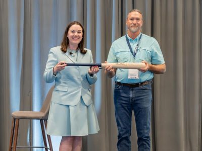
Project Administrator Doug Pritchard Awarded Halff’s Home Run Award
Halff President and CEO Jessica Baker Daily (left) presents the Home Run Award to Doug Pritchard President and CEO Jessica…
Gopher Tortoise Day: All About Florida’s Threatened Species
Gopher tortoises, a threatened species in the state of Florida, play a vital role in the ecosystems of the southeastern…