Geospatial solutions include professional mapping and remote-sensing through a range of modern tools. These tools include airborne and mobile photogrammetry and lidar, terrestrial-based HD scanning and traditional surveying mapping techniques with the use of GPS and Robotic Total Station. Geospatial services help energy providers, transportation officials, municipalities, business owners and governments optimize the locational intelligence derived from geospatial data.
Geospatial Projects
Geospatial Services
- Manned Aerial Photogrammetry and Lidar
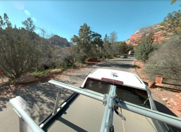
- Unmanned Aerial System (UAS or drone) Photogrammetry and Lidar
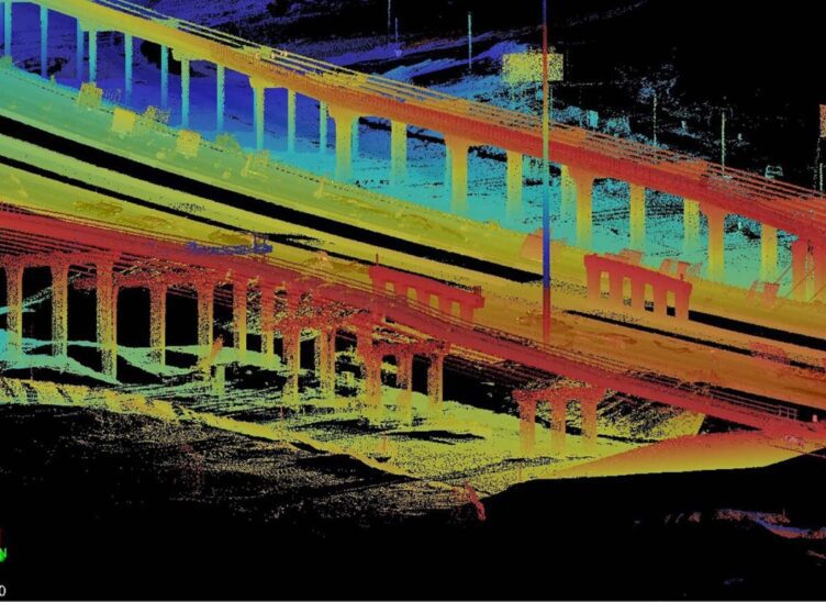
- Mobile Lidar and Imaging
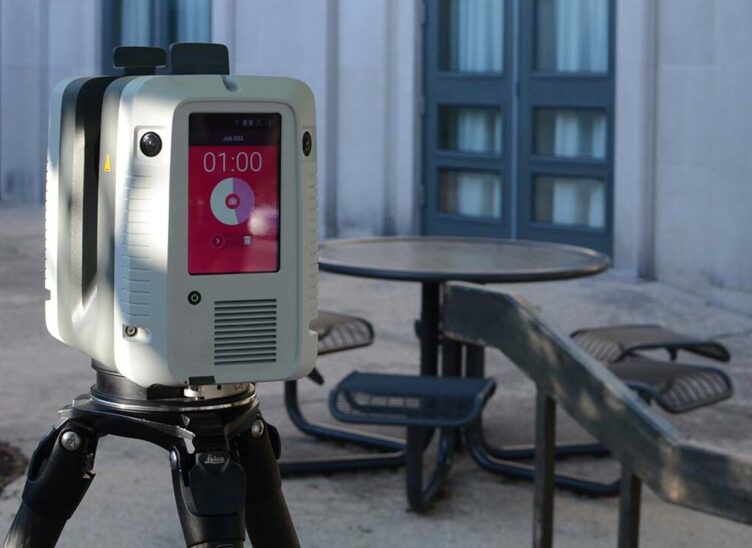
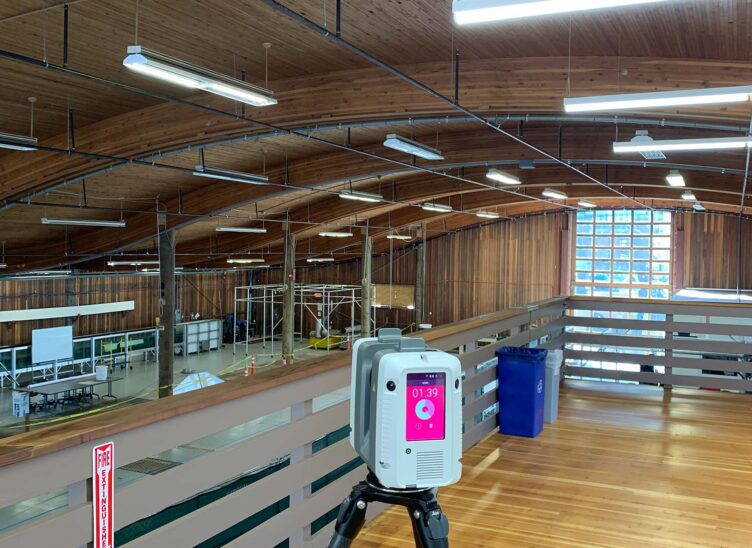
- Terrestrial Lidar (High Definition 3D Laser Scanning)
- Scan-To-BIM
- 4K HD Video
- Broadband/Fiber
- Bathymetry/Hydrographic Surveys
- Noise Validation Analysis (UAS/Drone Based)
- 3D Visualization
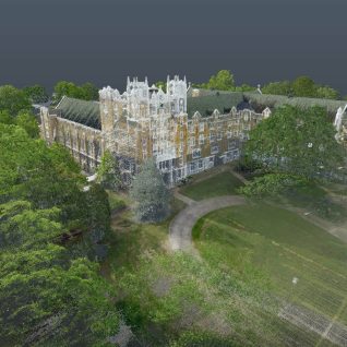
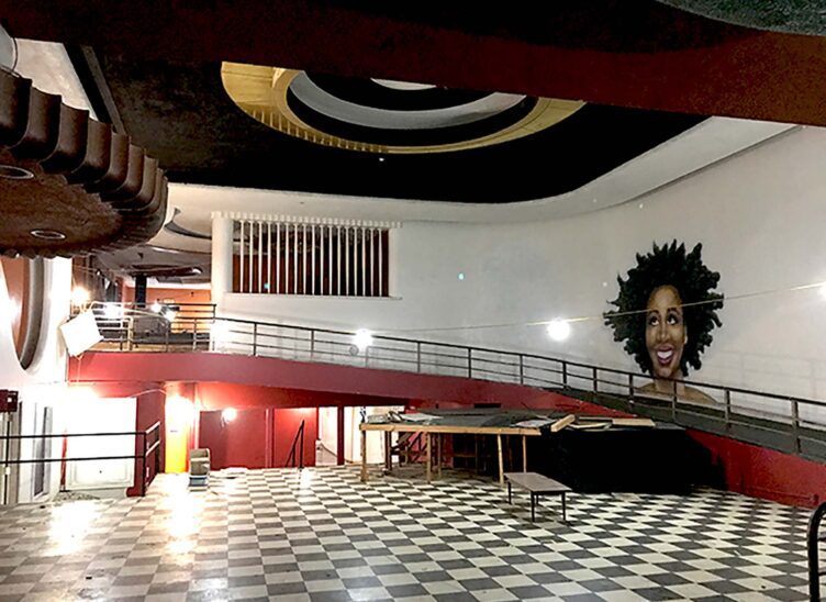
Lidar Technology Preserves Memory of Beloved Historic Building
This laser-scanned image of St. Scholastica captures millions of data points. The demolition of the 98-year-old St. Scholastica Monastery building earlier this…
Meet the Team


Related Services
Let’s Connect
Ready to work with Halff? Simply fill out the form to be directed to the best person at Halff to discuss your interests.